

Software, Lenses, Projection, and Survey Control Explained Plainly
Verified Views are not defined by a specific software package. They are defined by discipline.
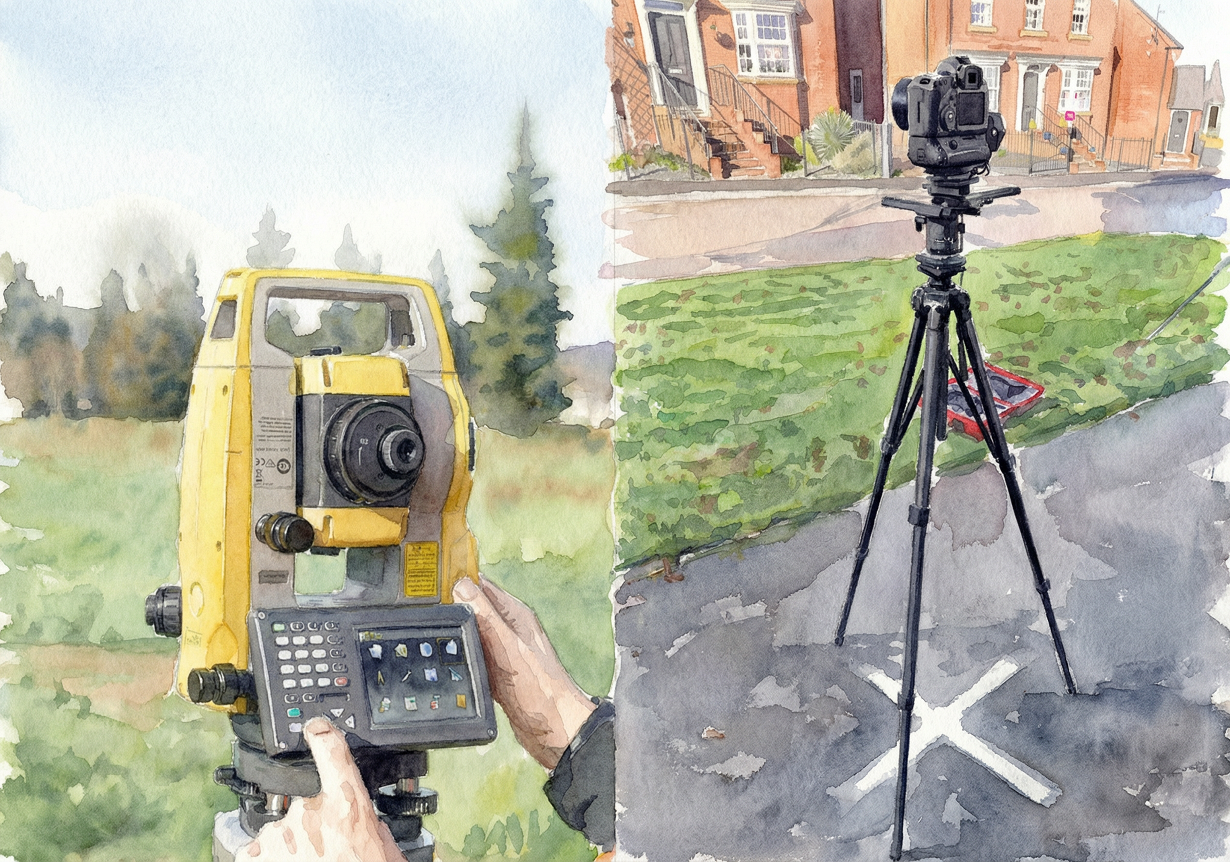
Photography must be taken from a known position using a calibrated camera and lens. The camera height, orientation, and location are either surveyed directly or tied back to surveyed control points.
Lens choice determines how spatial relationships are represented. The lens used in the real photograph must be replicated accurately in the digital environment.
Projection choice is critical. Wider horizontal fields of view are often better represented using cylindrical projection. Using the wrong projection introduces distortions that are subtle, cumulative, and easy to challenge.
Survey control ensures the digital model sits correctly within real space. Scale, distance, and alignment are constrained mathematically rather than inferred visually.
A robust workflow includes:
Surveyed camera locations and heights
Known lens parameters and camera metadata
Explicit projection choice
Model positioning within a real coordinate framework
Clear, auditable documentation
When these elements are handled correctly, the image becomes defensible.
For more information on AVRs, check out our other journals below: